Exploring Drone Mapping: Comprehensive Guide [2025 Update]
Drone mapping, a revolutionary technology, is transforming various sectors by processing aerial imagery into precise 2D maps and 3D models. Popular software platforms for this purpose include DroneDeploy, Pix4Dmapper, Agisoft Metashape, and Propeller.
This innovative technology is finding its way into industries as diverse as construction, agriculture, mining, and land surveying. Surveyors, for instance, are using drone mapping for high-resolution boundary mapping, site planning, and topographic mapping, significantly speeding up the process compared to traditional ground-based surveying methods.
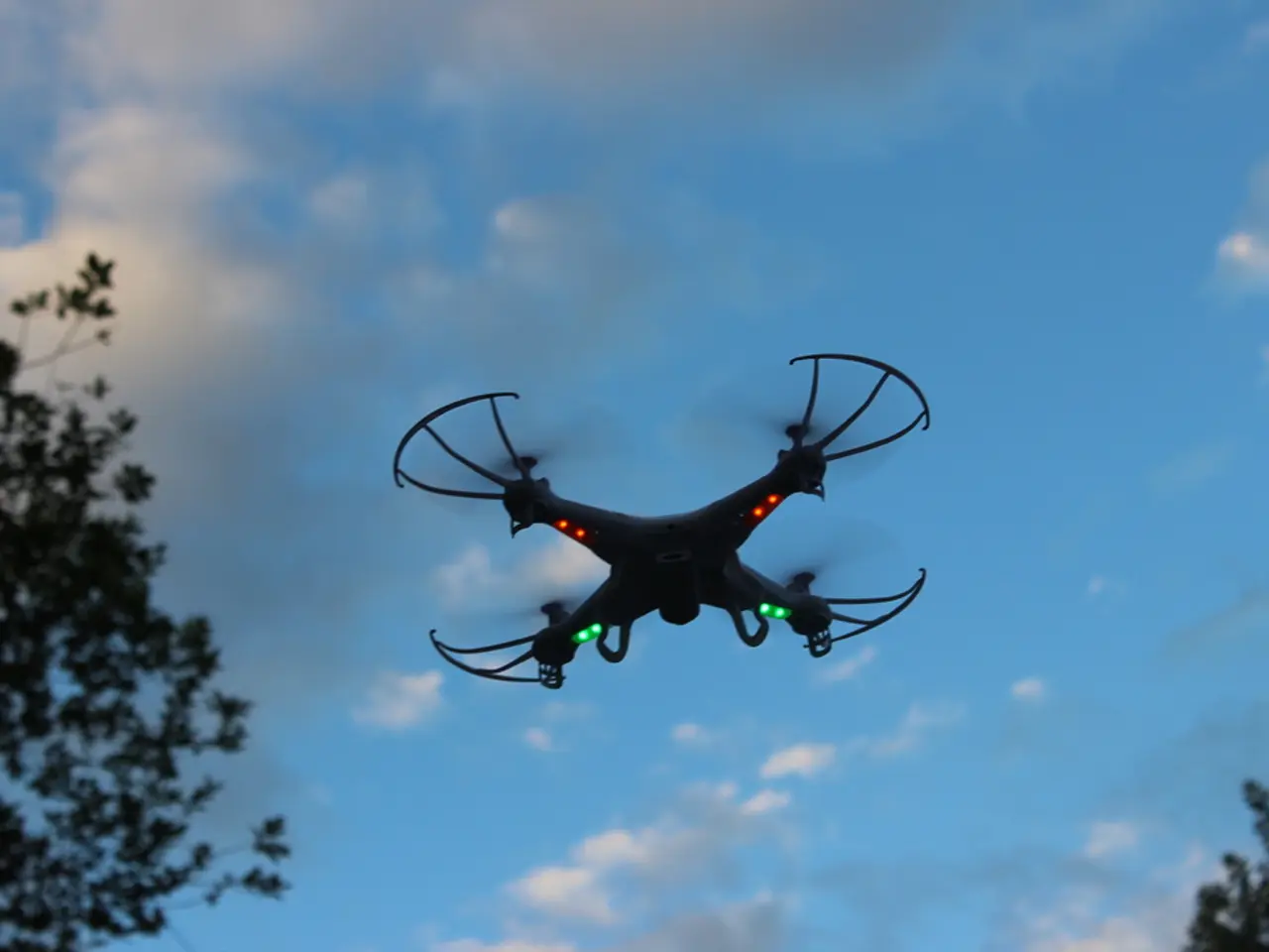
The drone, equipped with an onboard camera or sensor, flies a pre-planned path, capturing overlapping images of the terrain. These images are then uploaded into drone mapping software, which uses photogrammetry or LiDAR processing to reconstruct the area in 2D or 3D.
To embark on a drone mapping mission, one must plan carefully. This includes defining project goals, checking airspace restrictions, obtaining necessary permissions, selecting the best drone mapping software or app, and setting flight parameters like altitude, overlap, image resolution, and grid or lawnmower patterns.
The results of drone mapping are diverse, including orthomosaic maps, 3D models, Digital Elevation Models (DEMs), point clouds, and 3D mesh reconstructions.
The drone mapping job market is experiencing rapid growth, fueled by the global drone industry's expected $90 billion value by 2030. This growth creates demand for skilled certified pilots and data experts who understand flight operations, airspace regulations, and advanced data analytics.
Key roles in the drone mapping field include Aerial Survey Drone Pilots, GIS Analysts/Drone Data Specialists, Photogrammetrists/LiDAR Technicians, Drone Technicians and Support Specialists, and Utility Specialists. Each role requires a unique set of skills, from piloting and regulatory knowledge to technical data processing expertise.
Utility companies, for instance, use drone mapping to inspect and monitor assets like power lines, substations, pipelines, and water treatment facilities, improving safety while offering faster, more cost-effective inspections over large areas. In construction, drone mapping is used for site surveys, progress tracking, stockpile volume calculations, and cut-and-fill analysis.
In agriculture, drone mapping helps monitor crop health, identify areas affected by pests, disease, or nutrient deficiencies, map drainage patterns, and plan and validate precision seeding or spraying efforts. Environmental agencies and consultants also use drone mapping to track land changes, assess habitats, and support conservation initiatives.
For those interested in a career in drone mapping, it's essential to start with simpler jobs that allow for skill sharpening and portfolio creation, such as real estate mapping, roof inspections, or construction site monitoring. The best mapping drones offer a balance of accuracy, flight time, payload flexibility, and GPS precision. Examples include the WingtraOne Gen II, DJI Matrice 350 RTK, eBee X, and AstroMax.
To legally operate a drone for commercial mapping in the U.S., a Part 107 Remote Pilot Certificate from the FAA is required. To prepare for this, courses like Drone Pilot Ground School can be beneficial, offering a 99%+ success rate.
In conclusion, drone mapping is a powerful tool with a wide range of applications, from improving safety in utility inspections to aiding in precision agriculture and environmental conservation. As the technology continues to evolve, so too will the career opportunities it presents.
- The drone, a vital instrument in drone mapping, is equipped with an onboard camera or sensor that captures images during a flight.
- Aerial imagery, processed by drone mapping software like DroneDeploy and Pix4Dmapper, can be transformed into precise 2D maps and 3D models.
- In various sectors such as construction, agriculture, and mining, drone mapping technology is revolutionizing work processes, significantly speeding up tasks compared to traditional methods.
- For a successful drone mapping mission, it's crucial to plan meticulously, including defining project goals, considering airspace restrictions, obtaining necessary permissions, selecting the optimal drone mapping software, and setting flight parameters.
- Utility companies, particularly those involved in power lines, substations, pipelines, and water treatment facilities, leverage drone mapping for safer, cost-effective inspections over large areas.
- In construction, drone mapping is used for site surveys, progress tracking, stockpile volume calculations, and cut-and-fill analysis, contributing to more efficient workflows.
- In agriculture, drone mapping assists in crop health monitoring, identifying problem areas, mapping drainage patterns, and planning precision seeding or spraying efforts, ultimately improving yields and reducing waste.
- To build a career in drone mapping, beginnings might involve simpler jobs like real estate mapping, roof inspections, or construction site monitoring, allowing for skill development and portfolio creation.
- As the demand for skilled certified pilots and data experts in the rapidly growing drone mapping market continues, learning resources, such as courses like Drone Pilot Ground School, have emerged to facilitate preparation for a Part 107 Remote Pilot Certificate from the FAA.


